
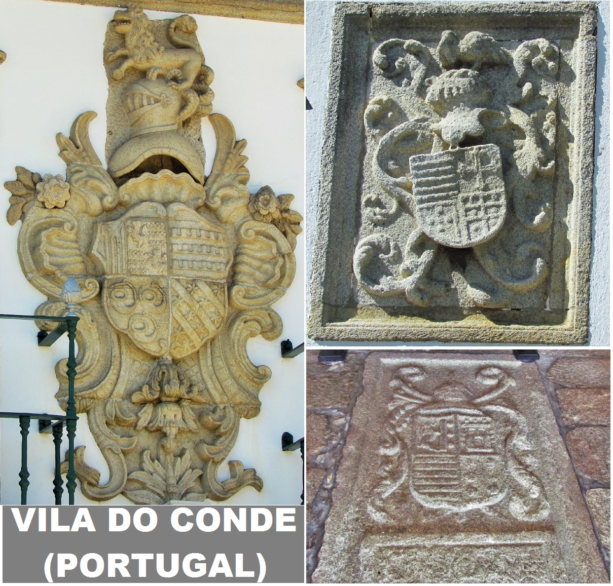
VILA DO CONDE
GPS: N 41º 21' 14.83''; W 8º 44' 35.55''
Vila do Conde is located on the north-west coast of Portugal, surrounded by the municipalities of Vila Nova de Famalicão Municipality (east), Maia (southeast), Trofa (southeast), Matosinhos (south), and Póvoa de Varzim (north). Fronting the Atlantic Ocean and the Ave River (to its south), the municipality includes 18 kilometers (11 miles) of beaches, in addition to extensive rural areas with fields and estates. Located 20 km (12 mi) from Porto, access to the municipality is completed through many of its transport networks: the A28 (linking Porto to Viana do Castelo), the EN13, a Metro line, and the A11 roadway.


💓💓💓💓💓
SEARCH IN ALPHABETICAL ORDER
IN THE DISTRICT OF PORTO

Cête;
Maia;
PORTO - WHERE THE RIVER KISSES THE SEA;PORTO - Sao Bento Train Staion + Public
Transport in Oporto Metropolitan Area;
PORTO - PORTO ESSENTIALS I;
PORTO - PORTO ESSENTIALS II;
PORTO - PORTO ESSENTIALS III;
PORTO - PORTO ESSENTIALS IV;
Póvoa do Varzim;
💓💓💓💓💓
Return to mainland Portugal &
the Azores and Madeira islands

