
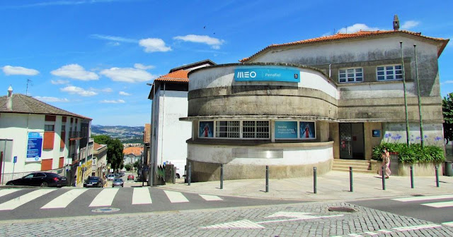
PENAFIEL
GPS 41º 12' 00'' N; 8º 16' 48'' W
Physical geography
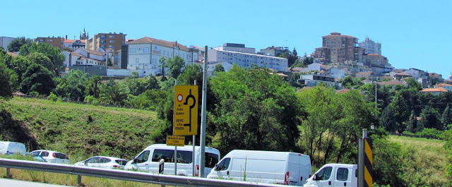
The municipality extends within an area of 212.2 square kilometers (81.9 sq mi), in a confluence of river valleys marked by the Douro, Tâmega and Sousa Rivers, connecting the littoral region and the Transmontana zone. It is a landscape of deep valleys, with intense irrigated zones and pasturelands, with fields encircled by forests of pine and eucalyptus. This inter-fluvial region has granite soils and is rich in water resources, permitting intensive agriculture and extraction industries. The southwest extension of the municipality includes a complex of Schist and Greywacke geology, resulting in mountainous, uncultivated and largely forest lands.
An intermediary zone, dividing the littoral and mountainous regions, the region was an important transitory point, with lines of communication extending along with inter-regional, land and fluvial networks. The first example was the "royal roadways" that date to the medieval period, that connects Porto and the Trás-os-Montes, which resulted in the development of the urban center, which was a fulcrum in supporting transiting peoples and goods. The Douro was an important link and penetrated the interior, while the flanks of the Alto Douro were used to produce vineyards. The "Entre-os-Rios" district was also an important part of supporting travel along with the interior.
Climate
Penafiel has a Mediterranean climate (Köppen: Csb) with cool to mild, rainy winters and warm to hot, dry summers.
Human geography
With 28 civil parishes it includes a resident population of 72,000 inhabitants (approximately 338.4 people per kilometer square), integrated into the Associação de Municípios do Vale do Sousa (Vale de Sousa Municipal Association) and NUTSIII Tâmega Subregion. The region is settled, but in dispersed enclaves, supported by small industry and commerce, while newer residential homes juxtaposition older rural dwellings. These older homes are usually maintained by part-time farming families and seniors, perpetuated by intense migration and facilitated by their proximity to major roadways.
The municipality is administered by the following civil parishes (freguesias): Abragão; Boelhe; Bustelo; Cabeça Santa; Canelas; Capela; Castelões; Croca; Duas Igrejas; Eja; Fonte Arcada; Galegos;
Guilhufe e Urrô; Irivo; Lagares e Figueira; Luzim e Vila Cova; Oldrões;
Paço de Sousa; Penafiel; Perozelo; Rans; Rio de Moinhos; Rio Mau;
São Mamede de Recezinhos; São Martinho de Recezinhos; Sebolido; Termas de São Vicente; Valpedre.
The parishes are, largely, semi-industrialized, with a mixture of modern homes and rural dwellings in nature. Villages have houses made with small stones and granite, both of which are common in the locality of Penafiel.
Economy
Extraction industries, civil construction firms and commerce employ a large number of workers, in addition to a strong concentration of service sector activities, confirmed by a Penafiel's central place in the regional economy.
Penafiel invested in new schools and renovating others during the 20th century, maintaining several kindergartens, primary and secondary schools.
The municipal council is responsible for maintaining several health centers, clinics and an hospital, with Padre Américo Hospital situated in the parish of Guilhufe.
The council has some train stations in their territory of buses throughout the country and a vast road system.
Tourism
Penafiel is the center for therapeutic treatments and spas, highlighted by the São Vicente Spa and the Inatel Entre-os Rios Spa. The São Vicente is known for the characteristic quality of its waters: the spa is known for the hyper-mineralized waters, which include concentrated sulfurous and carbonaceous alkaline silicates and fluoridated water. It is considered the most alkaline among the sulfurous waters of Portugal and Europe, with temperatures of about 18.5 °C (65.3 °F), advocated for the treatment of respiratory diseases and musculoskeletal system ailments.
One of the largest Portuguese is located in Penafiel: Magikland, formerly Bracalândia (and had moved from Braga), where it prospered.
Tourism is cyclical in the region, influence by the staggering of religious and secular activities, but marked by special events throughout the year, particularly around the religious feast of São Martinho. This includes the literary festival Escritaria and the agricultural fair Agrival, which had its basis in the traditional medieval fairs.
Historical heritage
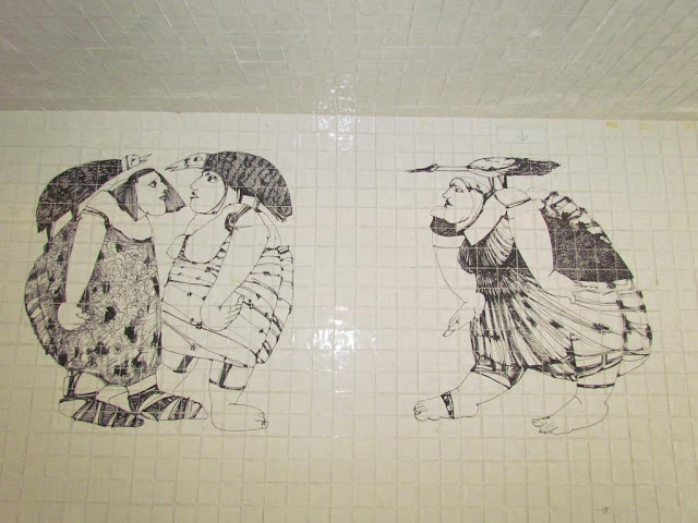
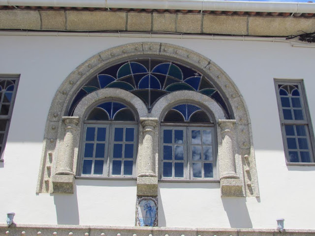
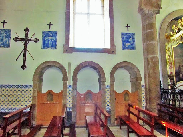
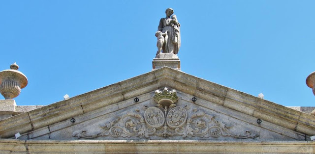
The region of Penafiel is known for a history dating to the pre-historic period, marked by dolmens, petroglyphs, necropolis and fortified settlements constructed of stone. But, over time and through the influence of various cultural groups (Romans, Visigoths, Moors) the area began to evolve into a modern center, marked by the evolution in its architecture from rudimentary stone dolmens to seigneurial manorhouses and monumental estates.


💓💓💓💓💓
SEARCH IN ALPHABETICAL ORDER
IN THE DISTRICT OF PORTO

Cête;
Maia;
PORTO - WHERE THE RIVER KISSES THE SEA;PORTO - Sao Bento Train Staion + Public
Transport in Oporto Metropolitan Area;
PORTO - PORTO ESSENTIALS I;
PORTO - PORTO ESSENTIALS II;
PORTO - PORTO ESSENTIALS III;
PORTO - PORTO ESSENTIALS IV;
Póvoa do Varzim;
💓💓💓💓💓
Return to mainland Portugal &
the Azores and Madeira islands

