
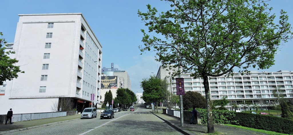
Maia is a municipality in the Porto Metropolitan Area, Grande Porto subregion, in Norte Region, Portugal. It is located 11 km north of central Porto. The population in 2011 was 135,306, in an area of 82.99 km2 (32.04 sq mi). There is one city (Cidade da Maia) and three towns (Moreira, Castêlo da Maia, and Águas Santas) in the municipality.
The Maia municipality is one of the most industrialized in the Norte Region. Among its industries are Sonae Indústria, a leading wood-based products company; market leader for paint & coating products CIN; fruit processing company Frulact; and cereal processing company Cerealis, which are headquartered in there. Other industries include textiles, chemicals, mechanical equipment and food products (e.g. Ferbar - Fernando Barros Productos Alimentares, Lda.,[3] a major Portuguese wholesaler of food products). Sonae SGPS, the owner of one of the largest hypermarket chains and the largest private employer in Portugal, is also headquartered in Maia. CEIIA - Centro para a Excelência e Inovação na Indústria Automóvel (auto industry innovation center), is located in TECMAIA (Parque de Ciência e Tecnologia da Maia complex), a science park situated in the Maia Industrial Zone.
The Porto International Airport, Francisco Sá Carneiro Airport (also known as Pedras Rubras Airport) is located in the parish of Moreira, in Pedras Rubras. The municipality is also served by Metro do Porto (Porto's Metro).


Milheirós is a Portuguese parish in the municipality of Maia with an area of 3.42 km² and 4,861 inhabitants (2011). Its population density is 1 421.3 inhabitants/km².


Nogueira is a Portuguese parish in the municipality of Maia, with an area of 4.08 km² and 5,473 inhabitants (2011). Density: 1 341.4 inhabitants/km².
It was the seat of an extinct parish (aggregated) in 2013, as part of a national administrative reform to, together with Silva Escura, form a new parish called Nogueira e Silva Escura.


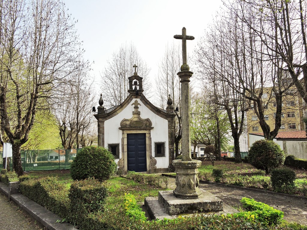
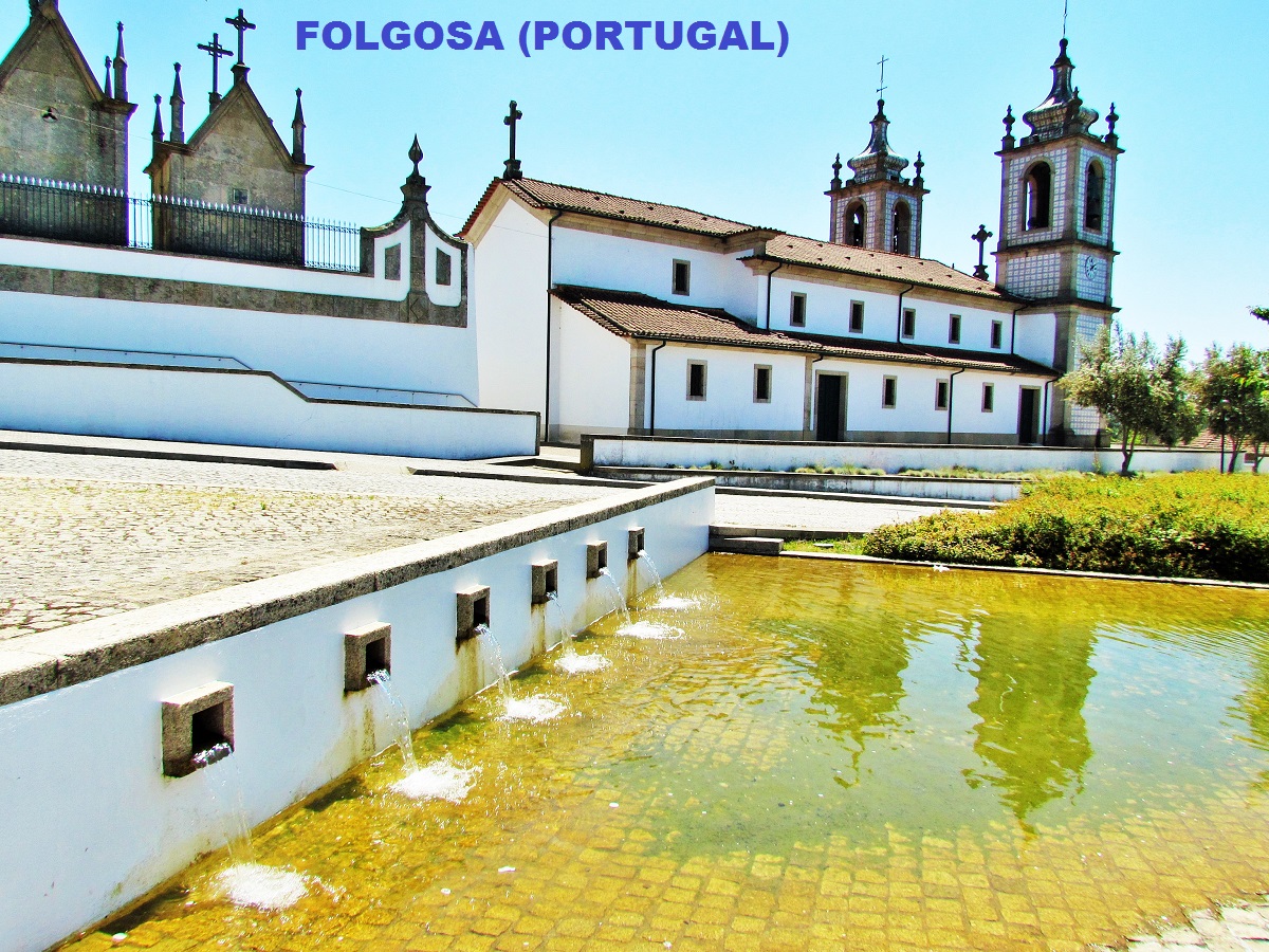
Folgosa is a Portuguese parish in the municipality of Maia, with an area of 10.30 km² and 3 704 inhabitants (2011). Density: 359.6 inhabitants / km².
It borders East and South with Alfena, South-southwest with Ermesinde, Valongo municipality, northeast with Água Longa, Santo Tirso municipality, north with Covelas, north-northwest with Coronado, Trofa municipality, west and southwest with São Pedro Fins and northwest with Silva Escura (Maia municipality).
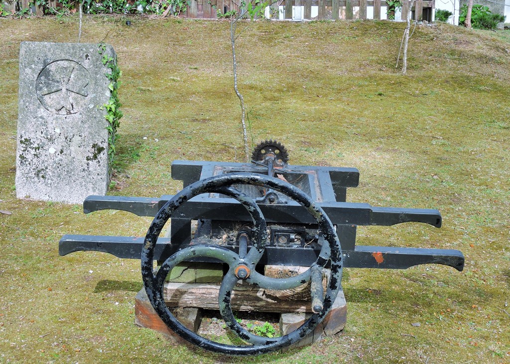
The main economic activities are agriculture and livestock, and there is also a strong industrial core.


PORTO - Sao Bento Train Staion + Public
Transport in Oporto Metropolitan Area;
PORTO - PORTO ESSENTIALS I;
PORTO - PORTO ESSENTIALS II;
PORTO - PORTO ESSENTIALS III;
PORTO - PORTO ESSENTIALS IV;
Póvoa do Varzim;

