PORTO
41° 08′ 58.09″ N, 8° 36′ 38.81″ W
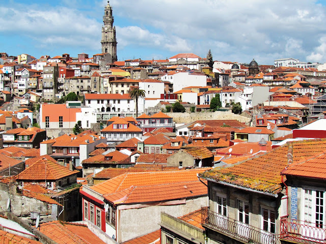
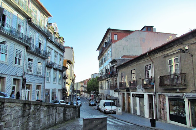
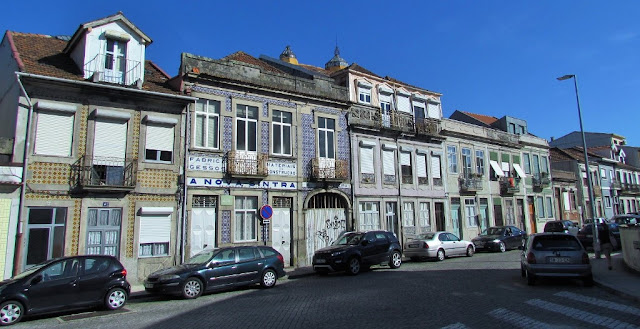
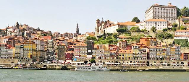
Located along the Douro River estuary in northern Portugal, Porto is one of the oldest European centers, and its core was proclaimed a World Heritage Site by UNESCO in 1996, as "Historic Centre of Porto, Luiz I Bridge and Monastery of Serra do Pilar". The historic area is also a National Monument of Portugal. The western part of its urban area extends to the coastline of the Atlantic Ocean. Its settlement dates back many centuries when it was an outpost of the Roman Empire. Its combined Celtic-Latin name, Portus Cale, has been referred to as Portugal's origin, based on transliteration and oral evolution from Latin. In Portuguese, the name of the city includes a definite article: o Porto ("the port" or "the harbor"), which is where its English name "Oporto" comes from.
Port wine, one of Portugal's most famous exports, is named after Porto, since the metropolitan area, and in particular, the cellars of Vila Nova de Gaia, were responsible for the packaging, transport, and export of fortified wine. In 2014 and 2017, Porto was elected The Best European Destination by the Best European Destinations Agency. Porto is on the Portuguese Way path of the Camino de Santiago.
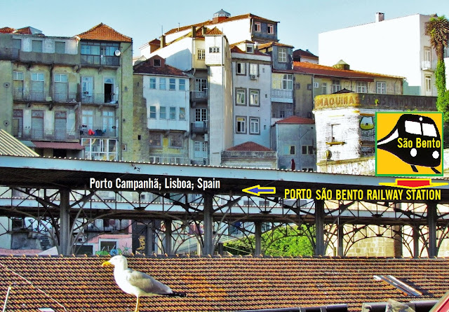
In 1996, UNESCO recognized Porto's historic center as a World Heritage Site. Among the city's architectural highlights, Porto Cathedral is the oldest surviving structure, together with the small romanesque Church of Cedofeita, the gothic Igreja de São Francisco (Church of Saint Francis), the remnants of the city walls, and a few 15th-century houses. The baroque style is well represented in the city in the elaborate gilt work interior decoration of the churches of St. Francis (São Francisco) and St. Claire (Santa Clara), the churches of Mercy (Misericórdia) and of the Clerics (Clérigos), the Episcopal Palace of Porto, and others. The neoclassicism and romanticism of the 19th and 20th centuries also added interesting monuments to the landscape of the city, like the magnificent Stock Exchange Palace (Palácio da Bolsa), the Hospital of Saint Anthony, the Municipality, the buildings in the Liberdade Square, and the Avenida dos Aliados, the tile-adorned São Bento railway station and the gardens of the Crystal Palace (Palácio de Cristal). A guided visit to the Palácio da Bolsa and the Arab Room is a major tourist attraction.
Administratively, the municipality is divided into 7 civil parishes (freguesias): Aldoar, Foz do Douro e Nevogilde; Bonfim; Campanhã; Cedofeita, Santo Ildefonso, Sé, Miragaia, São Nicolau e Vitória; Lordelo do Ouro e Massarelos; Paranhos; Ramalde.
Climate
Porto features a warm-summer Mediterranean climate (Köppen: Csb), with influences of an oceanic climate (Cfb) like the northern Galicia. As a result, its climate shares many characteristics with the warm, dry Mediterranean climates of southern Europe and the wet marine west coast climates of the North Atlantic, providing it warm, dry summers and mild, rainy winters. Cool and rainy days can, occasionally, interrupt the dry season. These occasional summer rainy periods may last a few days and are characterized by showers and cool temperatures around 20 °C (68 °F) in the afternoon. The annual precipitation is high and concentrated in the winter months, making Porto one of the wettest major cities of Europe and the wettest major city with a Mediterranean climate. However, long periods with warmer temperatures and sunny days are frequent even during the rainiest months.
Summers are typically sunny, with average temperatures between 16 and 26 °C (61 and 79 °F), but can rise to as high as 38 °C (100 °F) during occasional heat waves. During such heatwaves, the humidity remains quite low. Nearby beaches are often windy and usually cooler than the urban areas. Summer average temperatures are a few degrees cooler than those expected in more continentally Mediterranean-influenced Portuguese cities because of the oceanic influence.
Winter temperatures typically range between 6 °C (43 °F) early in the morning and 15 °C (59 °F) in the afternoon, but rarely drop below 0 °C (32 °F) at night. The weather is often rainy for long stretches, although prolonged sunny periods do occur.
The best viewpoint over the city of Porto is the neighboring town of Vila Nova de Gaia, on the opposite bank of the Douro River.
Dom Luís I Bridge
Ponte Dom Luís I
41.139863°N; 8.609336°W
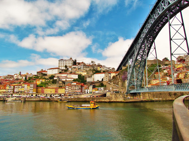
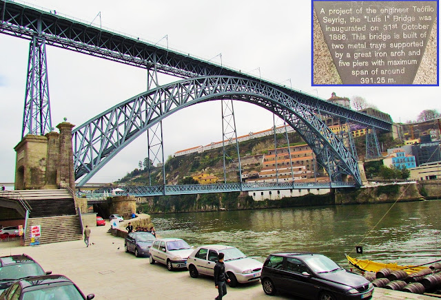
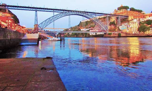
The D. Luís Bridge is a metal structure bridge with two decks, built between 1881 and 1886, connecting the cities of Porto and Vila Nova de Gaia (north and south bank, respectively) separated by the Douro River.
This construction replaced the old suspension bridge that existed in the same place and was carried out through the project of the Belgian engineer Théophile Seyrig, who had previously collaborated with Gustave Eiffel in the construction of the Ponte de D. Maria Pia, a railway bridge that was built 9 years earlier (and is located 1 kilometre (0.62 mi) to the east), which is similar in aspect to the Luís I bridge.
The bridge was inaugurated in 1886 (upper deck) and 1888 (lower deck and entrance fully operational).
The D. Luís I Bridge has been classified as a UNESCO World Heritage Site since 1996.
History
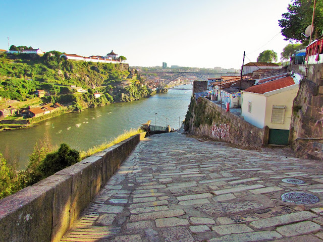
In the second half of the 19th century, trade progressed in the city of Porto. The factories were scattered throughout the eastern part of the city, known as Brazil. Traffic between Gaia and Porto was growing visibly, and the beautiful Pênsil Bridge was not enough for efficient circulation.
By bill of February 11, 1879, the Government determined the opening of a tender for the "construction of a metal bridge over the Douro River. After the government did not accept a project by the firm G. Eiffel et Cie. a deck at river level, with a drawbridge in the central part, Théophile Seyrig, as a partner of Gustave Eiffel, signed the new and grandiose Luís I Bridge as the sole responsible. from 1886.
The structure of the new bridge, a true iron filigree, which became, together with the Clérigos Tower, the ex libris par excellence of Porto, weighed 3,045 tonnes as a whole. The bridge was illuminated by means of artistic gas lamps, 24 on the upper deck, 8 on the lower deck and 8 on the abutments.
Architecture
The bridge is situated in an isolated, urban area over the River Douro between the granite banks, where the Cathedral of Porto and the escarpment of the Serra do Pilar form a box valley. It is 1 kilometre (0.62 mi) from the bridge of D. Maria Pia and, farther along, the Arrábida Bridge.[2] On the Porto side, the lower deck connects the Cais da Ribeira and the upper Avenida Vímara Peres, while the bank of Vila Nova de Gaia to the Avenida Diogo Leite and Avenida da República, respectively. Access to the Porto side is located along the Pillars of Ponte Pênsil, while the Guindais Funicular, the Church and Shelter of Ferro, the Fernandina Walls and the Monastery of Serra do Pilar.[2]
The iron bridge has two decks, of differing heights and widths, between which develop a large 172.5 metres (566 ft) diameter, central arch supporting these upper and lower decks. Both decks are moored to the riverbanks by means of masonry piers. Those in the upper deck, are rectangular with a trimmed cornice finish, consisting of two staggered registers separated by cornice and interlacing struts. The lower deck is based on large foundations supporting molded cornices and wedges linked together by a felled arch, and framed by interlacing beams. At the base of the arches, facing the riverbanks, are large marble plaques with inscriptions "PONTE LUIZ I", and on the upstream face are stones representing royal coat-of-arms, with a shield framed by garlands. At the base of the lower deck, are iron-pillared, pyramidal-truncated pillars, erected in three sections, that attach to the upper deck.
The bridge has an asphalt pavement for vehicular traffic, separated by cast iron guards, that limit the pedestrian sidewalks, that develop laterally. The central arch emerges from the bollards at the foundations and decreasing thickness towards the center. The upper deck, also flanked by pedestrian walkways protected by cast iron guards (similar to the lower deck), was also asphalt-paved until converted to carry light rail trains of the Porto Metro in the mid-2000s. From this deck are lamps used for illumination, confronting and connected, forming decorative circles at the angles. Under the guard is cut-out-like lambrequin decorated with phytomorphic elements.
The bridge should be without car circulation in the second half of 2025, the scheduled date for the inauguration of the Ponte de D. António Francisco dos Santos.
💛💛💛
💓💓💓💓💓
RIBEIRA
41° 08′ 25.08″ N, 8° 36′ 47.16″ W
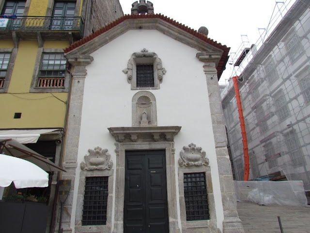
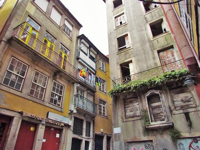
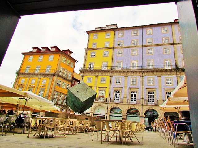
In Ribeira, Praça da Ribeira deserves to be highlighted, popularly also known as Praça do Cubo; Rua da Fonte Taurina, one of the oldest in the city; the Wall of Bacalhoeiros and the Casa do Infante, where Infante D. Henrique is believed to have been born in 1394.
The tragedy of Ponte das Barcas
(A tragédia da Ponte das Barcas)
The so-called Ponte das Barcas was a bridge over the Douro River that existed in the city of Porto at the beginning of the 19th century, built on barges.
The Ponte das Barcas, built with more lasting objectives, was inaugurated on August 15, 1806. It consisted of twenty barges connected by steel cables and which could open in two parts to allow river traffic.
It was on this bridge that the famous overthrow of the Ponte das Barcas took place, in which thousands of French legionaries perished, chasing Portuguese civilians and military across the bridge and the bayonet charge of the troops of the second French invasion, commanded by Marshal Soult, on 29 March 1809. More than four thousand people died. But the Portuguese managed to reach the military post of the pillar mount in Vila Nova de Gaia, contributing to the failure of the French invasion.
Rebuilt after the collapse, the Ponte das Barcas would eventually be definitively replaced by the Suspension Bridge in 1843.
💛💛💛💛
THE DOURO RIVER
The Douro River rises at the peaks of the Serra de Urbión, in the Spanish province of Soria, at 2160 meters above sea level, and runs through the north of Portugal to its mouth next to the cities of Porto and Vila Nova de Gaia. It is the third-longest river in the Iberian peninsula. It is 897 km long, 572 km on Spanish soil, 213 km navigable in Portuguese territory, and 112 km international in character, as its course borders Portugal and Spain.
💛💛💛💛
THE SUSPENSION BRIDGE
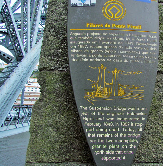
The bridge ensured an improvement in traffic between the two banks, replacing the shaky Ponte das Barcas.
In 1887, after the inauguration of the D. Luís bridge, the suspension bridge was dismantled. There are now the pillars and ruins of the military guardhouse that ensured the order and regulation of the bridge, as well as the collection of tolls for its crossing
💛💛💛💛
FOZ
41.14921º N; 8.67573º W
In its heritage, highlight for the first manifestations in Portugal of the Renaissance architecture, with the lighthouse chapel of S. Miguel-o-Anjo, in Cantareira, and the palace and Church, within the walls of the Fort of São João Baptista da Foz, works ordered to be built by Bishop D. Miguel da Silva, in 1527, with the participation of architect-sculptor Francisco de Cremona. The Igreja Matriz and the fort mentioned (both from the 17th century) are also noteworthy. Between the slopes of Monte da Luz and Monte, going down to Cantareira, there is a rich urban agglomeration that, in importance, immediately follows that of the historic center of the city.
"Passeio Alegre" Garden
41° 8' 53.59" N; 8° 40' 15.07" W
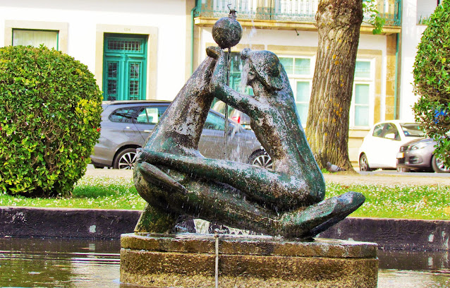
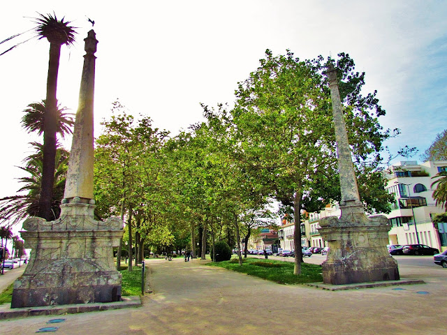
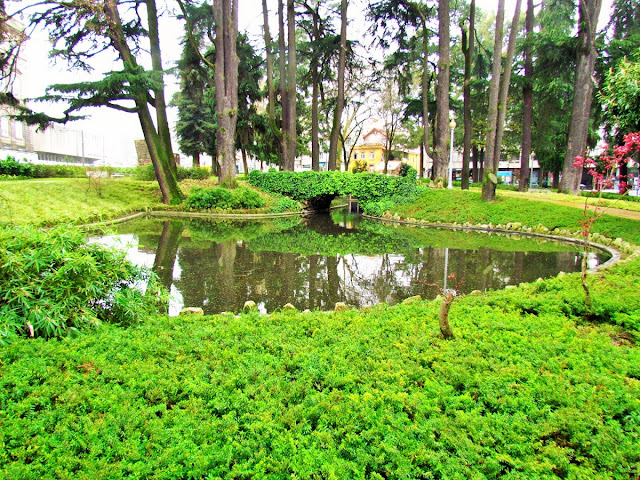
Space delimited to the north by a front built with houses from the 19th and early 20th centuries. This front delimits a trapezoidal space, flat and landscaped, facing the mouth of the Douro River and called "Jardim do Passeio Alegre". It has two lakes. One called "The Girl and the Seal", to the east, and another to the west, with a light source. It also includes the Passeio Alegre Fountain, the pavilion of the Chalet Suiço and at the easternmost vertex, the obelisks of the Casa da Prelada. Surrounding this garden, and to the west, the Castle of S. João da Foz. On the East side, next to the Douro waterfront, the Cantareira spout where the Lighthouse of S. Miguel o Anjo is located. Finishing the platform next to the river, a pedestrian path punctuated by palm trees, where some modern sculptures are inserted.
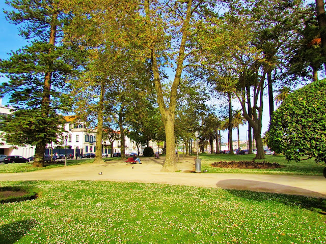
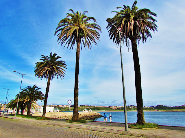
This public garden with an essentially romantic character corresponds to one of the most unique green spaces in the city of Porto. With around 41,000 m2, it is flanked on the riverside by an avenue of Canary Palm trees classified as being of public interest.
A series of architectural elements of great value coexist, side by side, with the exuberant grove, where the Norfolk Pine and the metrosideros stand out.
It develops geometrically along a central axis, punctuated by several works such as, for example, the two Obelisks by Nasoni, from Quinta da Prelada and National Monument, or the public toilets, built in 1910, decorated with Art Nouveau tiles and tableware. English.
Curiosities
The Chalet "Suisso", a National Monument, boasts a sculpture of the Ram on the top of the roof, beautifully painted in white. It was a place for literary gatherings, attended by Camilo Castelo Branco, Arnaldo Gama, Ramalho Ortigão, Alberto Pimentel and others.
💛💛💛💛
Lighthouse of Cantareira
and Maregraph of Foz do Douro
Framework
It is located in Cantareira, on Cais do Marégrafo, in front of the old Lighthouse of São Miguel-o-Anjo, today better known as Capela de São Miguel-o-Anjo. Nearby, stands the Chapel of Nossa Senhora da Lapa to the north and, to the west, the Passeio Alegre is developed, including the Obelisks of Passeio Alegre, the Kiosk of the Garden of Passeio Alegre, the Fountain of Passeio Alegre and the sanitary facilities built in 1910. Further northwest, about 700 m away, stands the Fort of São João Baptista / Fortaleza da Foz do Douro.
💛💛💛💛
💛💛💛💛
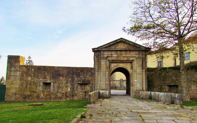
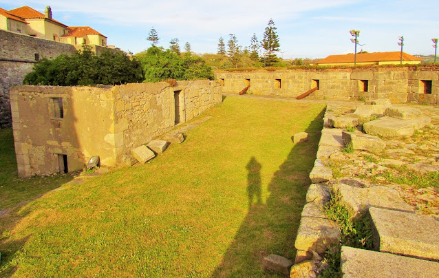
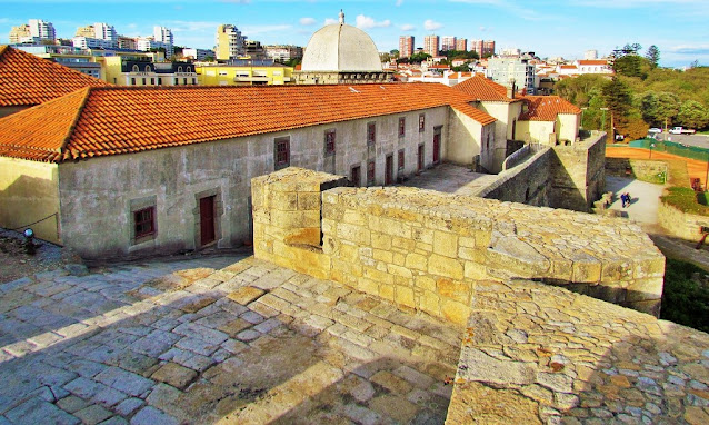
Fort of São Joao Batista da Foz
It rises in a dominant position on the mouth of the Douro River, providing river access to the city of Porto.
History
Started in 1570, it consisted of a simple bastioned structure, involving the hospice (monastery) and the church of the Benedictines of Santo Tirso (Old Church), ancient medieval structures.
A church and attached abbey palace were built on this site, for which the Italian architect Francesco de Cremona was employed. Together with the Lighthouse of São Miguel-o-Anjo (completed in 1527), which is a few hundred meters away from the site, it constituted the first manifestation of Renaissance architecture in the North of Portugal (the chancel and church nave, with the involvement of the bastioned structure and the dismantling of the roof, which served as the fort's parade ground).
With the Independence War of Restoration, the remodeling of the fortification was imposed. Fearing a Spanish invasion along the northern border of the kingdom, King D. João IV (1640-56) dispatched, in 1642, the new Chief Engineer of the Kingdom, the Frenchman Charles Lassart, to the city of Porto. He had the opportunity to verify the inefficiency of the 17th century structure in the face of the 18th century offensive means, and he elaborated a new project that expanded and reinforced it. After a suspension of works, the works were restarted, with the demolition of the Old Church.
Made a priority due to the invasion of Minho by Spanish troops, the works were completed in 1653. Two years later, it was considered the second fortress of the Kingdom, right after São Julião da Barra, in Lisbon. The fortress protected the city and the provinces of Entre-Douro e Minho and Beira. At the end of the 17th century, in 1684, it was manned by 22 artillerymen, bringing together six Cavalry and eighteen Infantry regiments.
At the beginning of the 19th century, during the Peninsular War, on June 6, 1808, Sergeant Major Raimundo José Pinheiro occupied its premises and, the following morning, raised the flag of Quinas from its mast, the first act of Portuguese reaction against the Napoleonic occupation. The fortification would be involved a few years later in the Liberal Revolts, having protected, during the siege of Porto (1832-1833), the landing of supplies to the city.
As a result of the evolution of vessels and artillery, the fort gradually lost its defensive function, being used as a prison for political prisoners. In 1759, when the Society of Jesus was persecuted, 227 Jesuits were detained there. Among the illustrious names that were detained in their prisons, at the time of the Marquis of Pombal, those of Tomás da Silva Teles, Viscount of Vila Nova de Cerveira (who died there in 1762), and José de Seabra da Silva and, in the 19th century, the liberals José da Silva Passos and Duke of Terceira.
In the 20th century it was the residence of the poetess Florbela Espanca, wife of one of the garrison officers.
💛💛💛💛
💛💛💛💛
QUEIJO CASTLE
(Castelo do Queijo)
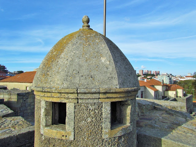
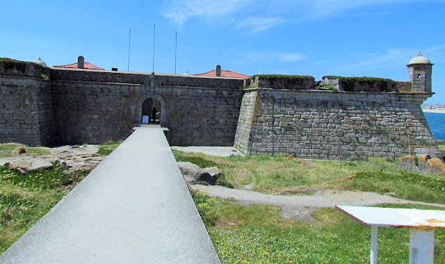
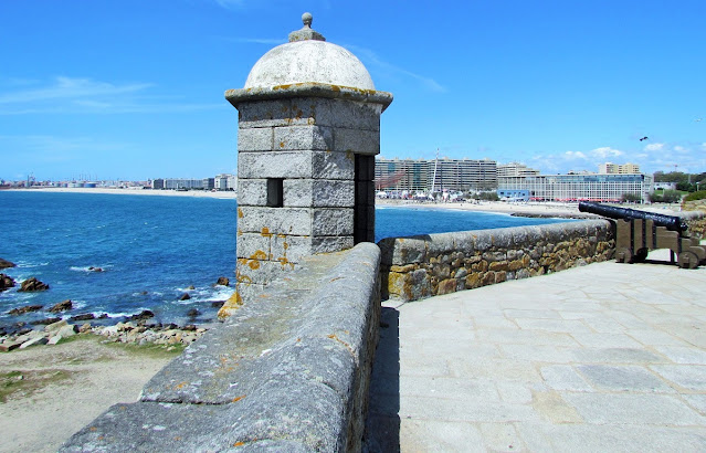
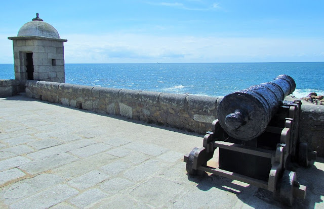
The São Francisco Xavier Fort is located in the parish of Nevogilde, in the municipality and district of Porto, in Portugal.In a dominant position over the Atlantic Ocean and a short distance from the mouth of the Douro River, it is also known as Castelo do Queijo because, according to tradition, it was built on a rounded granite rock, and with a shape similar to that of a cheese ( cheese boulder).
History
The Cheese Castle
In ruins in the mid-17th century, it served as the foundation for this small maritime fortification, built at the expense of the Porto City Council during the War of Restoration of Portuguese independence (1640-1668).
In the context of the Liberal Wars, during the siege of Porto it was occupied by the conservative forces of D. Miguel (1828-1834), despite the combined artillery bombardment of the batteries of Luz and the ships of D. Pedro's liberal squadron (1826), that greatly punished its structure. After Lordelo's journey it was abandoned and looted by the population.
Delivered to the custody of the Veterans Company (1839), during the Maria da Fonte revolt (1846), having been occupied by the troops of the Junta do Porto, it was shot by the frigate Íris, faithful to the government of Maria II of Portugal (1826-1828 , 1834-1853).
Currently restored and in perfect condition, it is under the care of the Association of Commands (Northern Delegation) which maintains a historical-military museum and a program of cultural and entertainment events, open to the general public.
41.16737º N; 8.68518º W
Café Majestic
41° 08′ 50″ N; 8° 36′ 24″ W
Café Majestic, at Rua de Santa Cartarina, n.º 112, is a historic café located in the city of Porto.
Its relevance comes both from the cultural ambience that surrounds it, namely the tradition of the tertúlia café, where several personalities from the cultural and artistic life of the city met, as well as from its Art Nouveau identity architecture. In 2011, it was considered the sixth most beautiful cafe in the world.
Inaugurated on December 17, 1921, it was immediately associated with a certain frequency of distinguished people of the time. One of those present at the inauguration was the aviator Gago Coutinho, who had just arrived from a trip to the island of Madeira, and who was enchanted by the splendor of the Art Nouveau decoration.
Names such as Teixeira de Pascoaes, José Régio, the philosopher Leonardo Coimbra frequented the café. Later it became a regular place for students and teachers of the Porto School of Fine Arts.
In the biography of J.K. Rowling, written by Sean Smith, mentions that the writer spent a lot of time at Café Majestic working on the first book "Harry Potter and the Sorcerer's Stone" (despite the writer having left Porto in 1994 and the book only having been published in 1997 ).
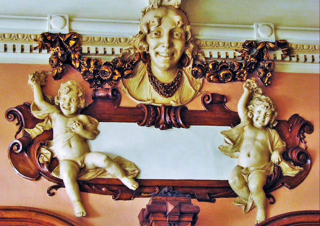
From a more refined and architectural formulation at the entrance, motivated by the architect's Beaux Arts roots, as we approach the garden we move to a decorativism that fills the architectural structures, ending at the Ionic portal connecting to the outside, with large transparent and sensual volutes, typically Art Nouveau, insinuating the feminine sculptures that we glimpse outside.
💛💛💛
💓💓💓💓💓
Cête;
Maia;
PORTO - WHERE THE RIVER KISSES THE SEA;PORTO - Sao Bento Train Staion + Public
Transport in Oporto Metropolitan Area;
PORTO - PORTO ESSENTIALS I;
PORTO - PORTO ESSENTIALS II;
PORTO - PORTO ESSENTIALS III;
PORTO - PORTO ESSENTIALS IV;
Póvoa do Varzim;
💓💓💓💓💓
Return to mainland Portugal &
the Azores and Madeira islands












.JPG)


